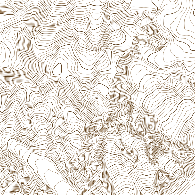
cartofab turns a patch of the real world into something you can make. You choose an area on a map in the browser, and it fetches elevation and OpenStreetMap data for that patch, then gives you either:
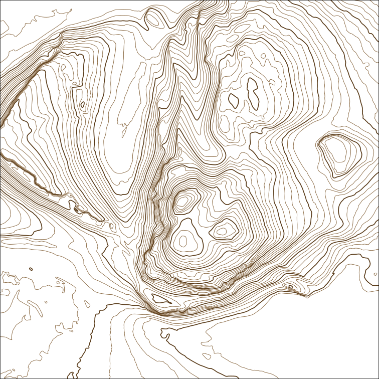
- a contour SVG, layered by height and sized in millimetres, ready for a pen plotter, or
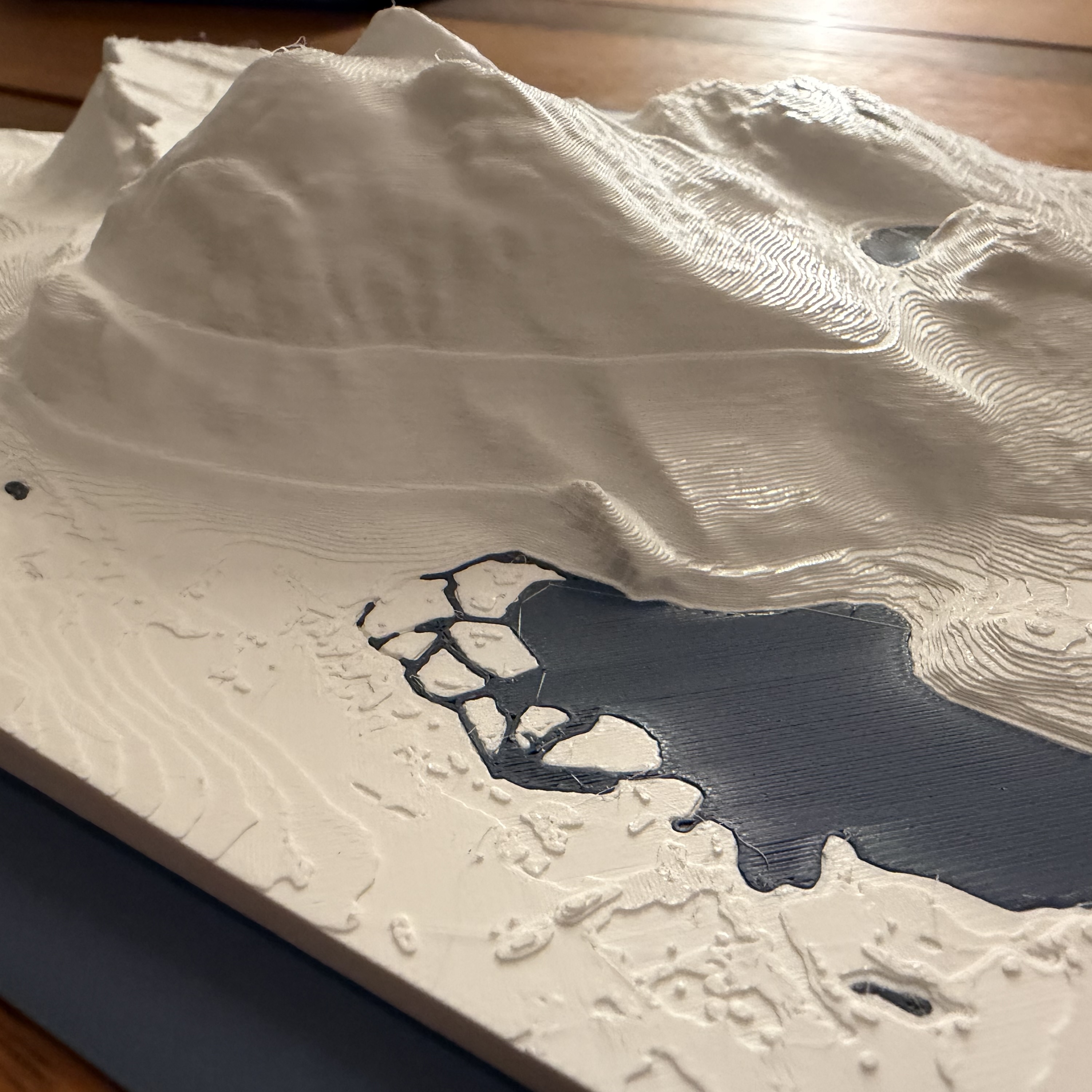
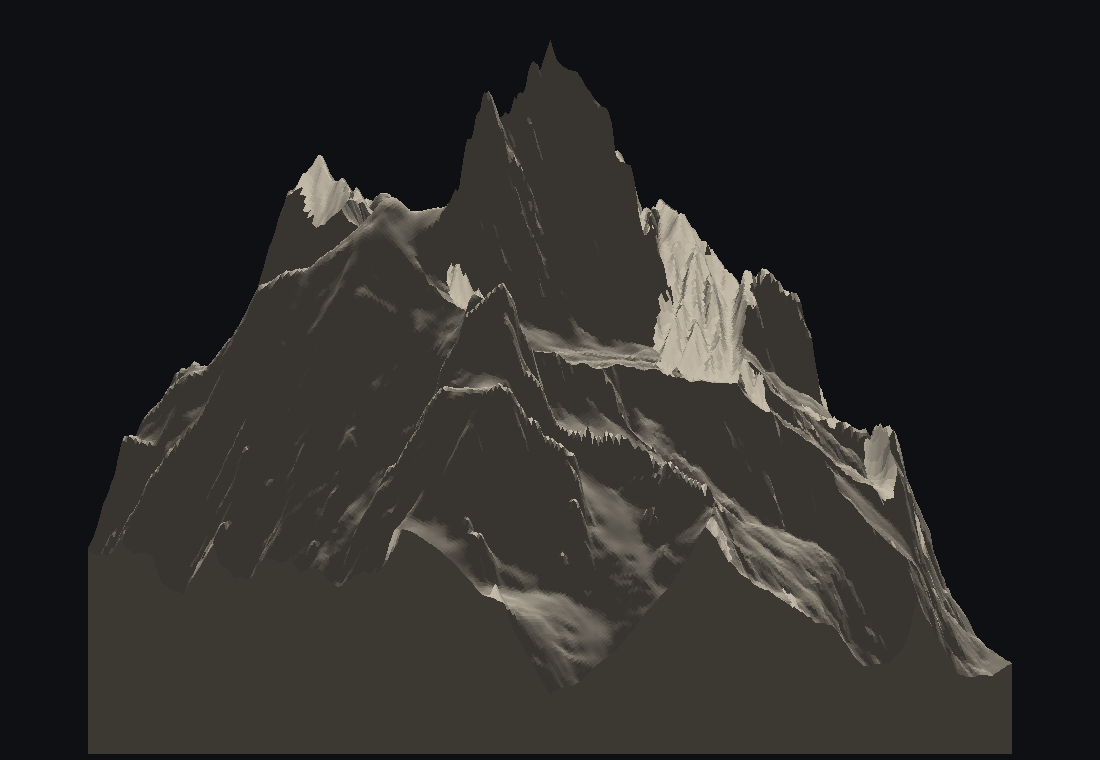
- a terrain mesh for a 3D printer, watertight, with water bodies flattened and buildings standing up from the surface.
Everything runs locally. Nothing is uploaded and no bulk datasets are downloaded; data is fetched on demand and cached, a few megabytes per map.
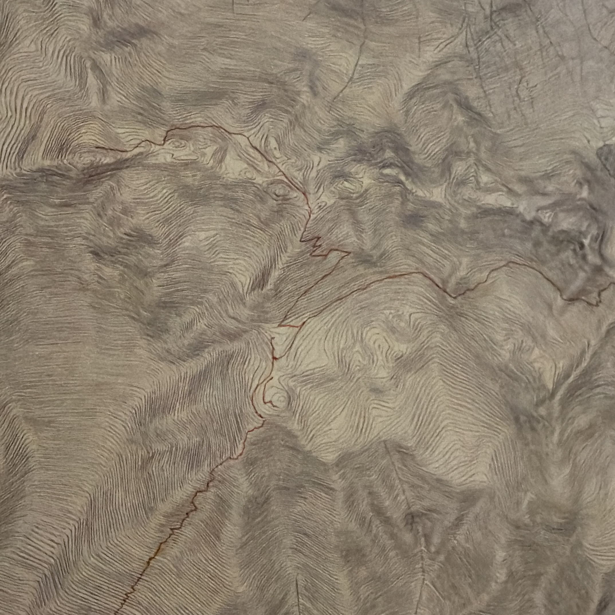
The images show the same eight-kilometre capture of Mont Blanc both ways, and a plot of Arthur’s Seat.